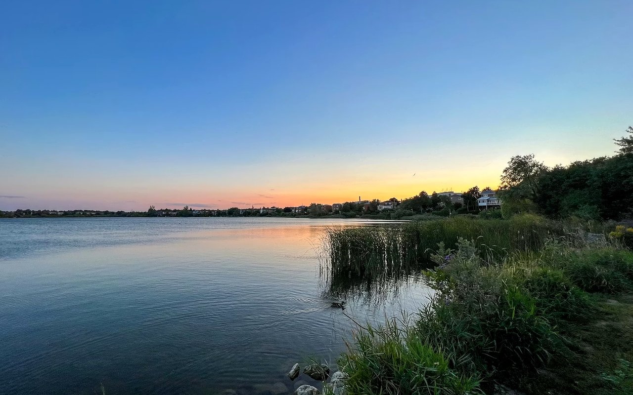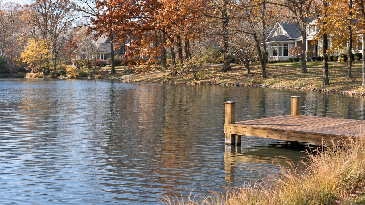
"The Lake must therefore be dredged on an increasingly frequent basis to maintain safe local recreational use." That sentence comes from Tabitha Gatts-Hendricks, a watershed coordinator with the Missouri Department of Natural Resources, writing in the Missouri Stream Team Fall 2026 newsletter. The lake she means is ours. The "therefore" refers to erosion along the banks of Peruque Creek, which loosens sediment that "flows into Lake St. Louis."
On the water this time of year, things are quiet. The gas dock's last day was Sunday, Oct. 11, and the Dam Bar was scheduled to close for the season the same day. Since Nov. 1, the kayaks have been put away, the golf course has been walk-only, and the Clubhouse has been on winter hours that run until April 1. Most of the silt in Dauphine Cove starts miles upstream, though, and the plan to reduce it there is just getting started.
The Same Cove, Six Years Apart
In November 2020, the trade outlet Dredge Wire reported on a planned $1.6 million Lake Saint Louis Community Association project. It called for removing about 180,000 cubic yards from Dauphine Cove and 25,000 cubic yards at Regatta Bay. The same report said 280,000 cubic yards had already come out of the Duello Road silt basin over the previous three years.
In 2026 the dredge went back to Dauphine Cove. Here's how the year went, according to LSLCA's own records:
- February: The Lakes & Parks committee heard that the Lower Dauphine dredging contract was about to be signed. The goal was to finish by May 9 so the Ski Club and other members could water-ski there.
- March: Engineering & Facilities reported that dredging was underway and piping was being laid to the silt basin.
- August: The same committee said dredging would continue after Labor Day. It also noted that once the main work was done, the dredge could move to other areas, which saves the cost of bringing equipment back later.
- Aug. 25: The board approved a $7,500 survey of Dauphine Cove to measure how much silt the early-summer dredging removed. A final survey follows once the dredging is finished.
Two big dredges in the same cove six years apart fits what the state coordinator described. The silt keeps arriving because the source hasn't changed.
Where the Silt Comes From
Peruque Creek starts in Warren County and runs east into St. Charles County until it reaches the lake. The Lake St. Louis and Peruque Creek Watershed-Based Plan calls the creek "the primary source of flow to the lake." The plan lists the main nonpoint sources as runoff from farmland and runoff from "expanding development and rapid urbanization" in the watershed. In some areas, it says, those same sources make streambank erosion worse, and that erosion adds still more sediment and phosphorus.
The plan's main concern is the lake's water quality, and silt is only part of it. Lake St. Louis is on the state's list for excess chlorophyll-a, a measure of algae. The plan traces that listing to "excessive sediment and nutrients entering the lake from the surrounding landscape and from Peruque Creek." A 10-mile stretch of the creek is also listed for low dissolved oxygen and poor conditions for aquatic life. So a sandbar in a cove and a summer algae bloom come from the same runoff.
The plan also puts a number on the silt. It measures sediment as total suspended solids, and its targets work out like this:
| Suspended sediment reaching Lake St. Louis | Tons per year |
|---|---|
| Current loading | 7,092 |
| Reduction needed to meet water quality standards | 6,657 |
| Reduction expected from conservation projects every five years | 951 |
| Target loading at the end of the plan | 435 |
The goal is to cut the sediment entering the lake by about 94 percent. At 951 tons per five-year period, that takes seven periods, which matches the plan's 35-year timeline. Anyone who uses Dauphine Cove should expect the silt to drop slowly, a little at a time.
You Can Measure It After a Storm
LSLCA tests stormwater, and its results show how uneven the runoff is. Samples collected on Sept. 28, 2026, and reported on Oct. 12, came in below 4 milligrams per liter of suspended solids at several sites. The sample at Deloire measured 68. Those numbers come from single sites after one storm, so they don't describe the whole lake. They do show that sediment comes in through particular channels. Upstream projects can target those channels, and a dredge can't.
July Changed What Upstream Work Can Pay For
The EPA accepted the watershed plan on July 14, 2026. As the DNR's Fall 2026 article explains, once the state and the EPA accept a plan like this, projects in it can apply for Clean Water Act Section 319 grants. That money goes to conservation work, called best management practices, plus education and outreach. The article also notes that grants usually cover far less than a plan needs, so partners have to fill the gap.
The group behind the plan is the Peruque Creek Watershed Alliance. It started with people in the watershed who went to volunteer water-quality monitoring workshops and then connected with others who had the same goals. Today it includes people from more than 14 organizations, and they meet every quarter. In its own section of the newsletter, the Alliance says it got from forming to an EPA-accepted plan "in just two years." It also says its first Section 319(h) grant application is in the late stages and "may be approved and funded as early as Fall/Winter 2026."
That first grant would go toward outreach and demonstration projects. These are working examples of common fixes that show landowners and policymakers what's possible. The planning study behind the project priorities was funded by a Section 406(b) grant. The Boonslick Regional Planning Commission contracted it, and Missouri State University's Ozark Environmental & Water Resources Institute did the work. The Alliance's plans are split between the urban eastern end of the watershed and the farm areas to the west. The overall goal is a best-management-practices program of $2.5 million a year.
The lake has its own reason to follow this. At LSLCA's March 2026 Engineering & Facilities meeting, members discussed sharing dredging cost figures with the Alliance. The March 2 committee minutes say that if the EPA accepted the plan, the association "could get reimbursed from grants 60/40." The EPA did accept it four months later. That ties the cost of Dauphine Cove to a funding source that wasn't available in 2020.
Winter Is When the Lake Gets Worked On
LSLCA's own records show summer kept for boating and the heavy work moved to the rest of the year.
According to the Aug. 25 board minutes, the LSLCA board discussed a meeting with PWSD2 about scheduling the district's projects through the association's general manager, so the work wouldn't disrupt summer boating. Lake safety came up too. The same minutes list SZ22 sheet piling for the Donnie's Point retaining wall and Shannon & Wilson for testing and supervision as already approved. They say that oversight was needed "due to life safety implications and cost level of project." Dredging follows the same pattern. The early-season goal was set around the Ski Club's calendar, and the remaining work was pushed to after Labor Day.
All of that is maintenance on the lake itself. Upstream on Peruque Creek, the effort to cut the silt at its source is still in the planning and outreach stage, and its first landowner tour is this month.
Following the Work Upstream This Winter
- The first stakeholder tour is Nov. 18. The Alliance is touring its priority areas and pairing the tours with how-to sessions. The goal is to show landowners that the fixes are doable, especially with help from partners.
- The volunteer monitoring network. The Alliance's Stream Research Committee and local Missouri Stream Team volunteers monitor 15 sites along Peruque Creek and the tributaries that feed the lake. Volunteers are also working out how to monitor during high water.
- Roadside creek signs and demonstration sites. The Outreach Committee is designing roadside signs for the creek. The Project Coordination Committee is choosing demonstration sites with the Ozark Environmental & Water Resources Institute and planning how to recruit landowners.
- The Peruque Creek Watershed Team on the LSLCA calendar. The team has had its own slot on the association's monthly meeting schedule. In October it met in Ballroom B at the Clubhouse.
You can read the full plan, including its maps of urban and farm priority areas, on the Alliance's watershed plan page. The Alliance takes questions at [email protected].
If you'd like to talk about how Dauphine Cove's dredging schedule and the Peruque Creek plan affect a home on the water, or what your place is worth this season, Cheri Norton and our team are glad to sit down with you. Get your free home valuation whenever you're ready.