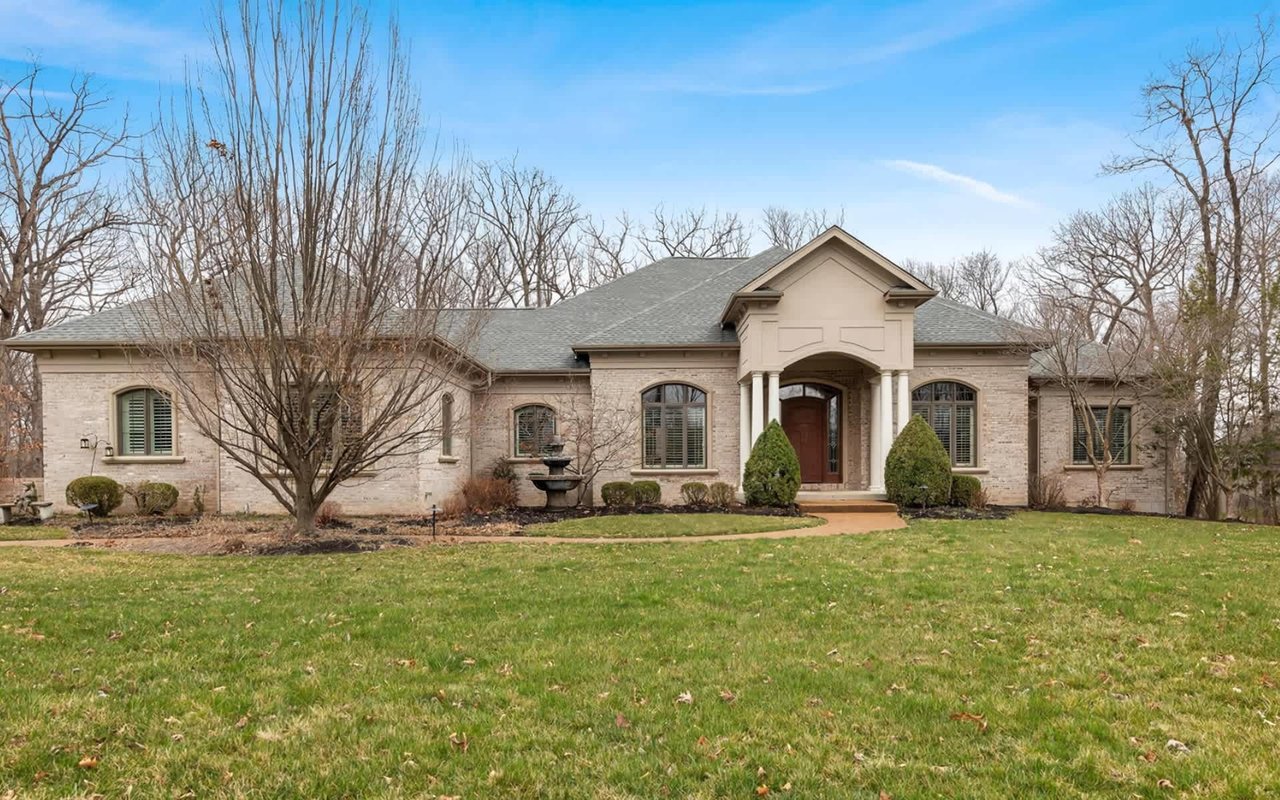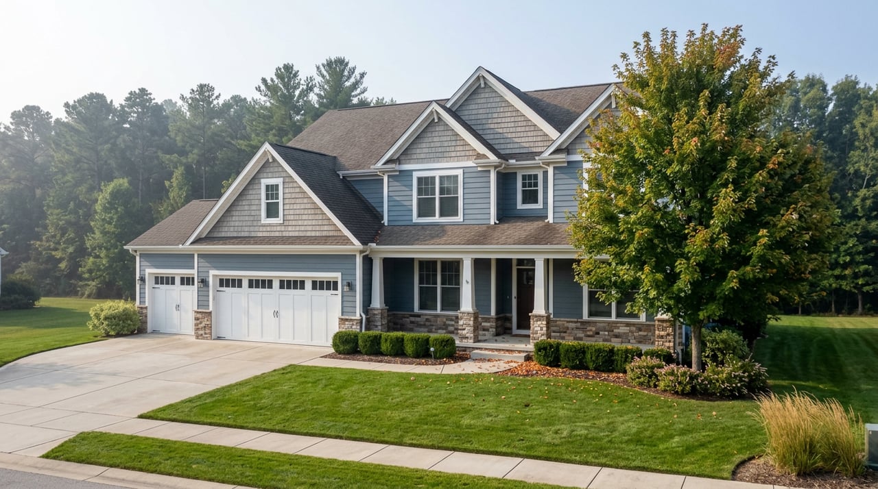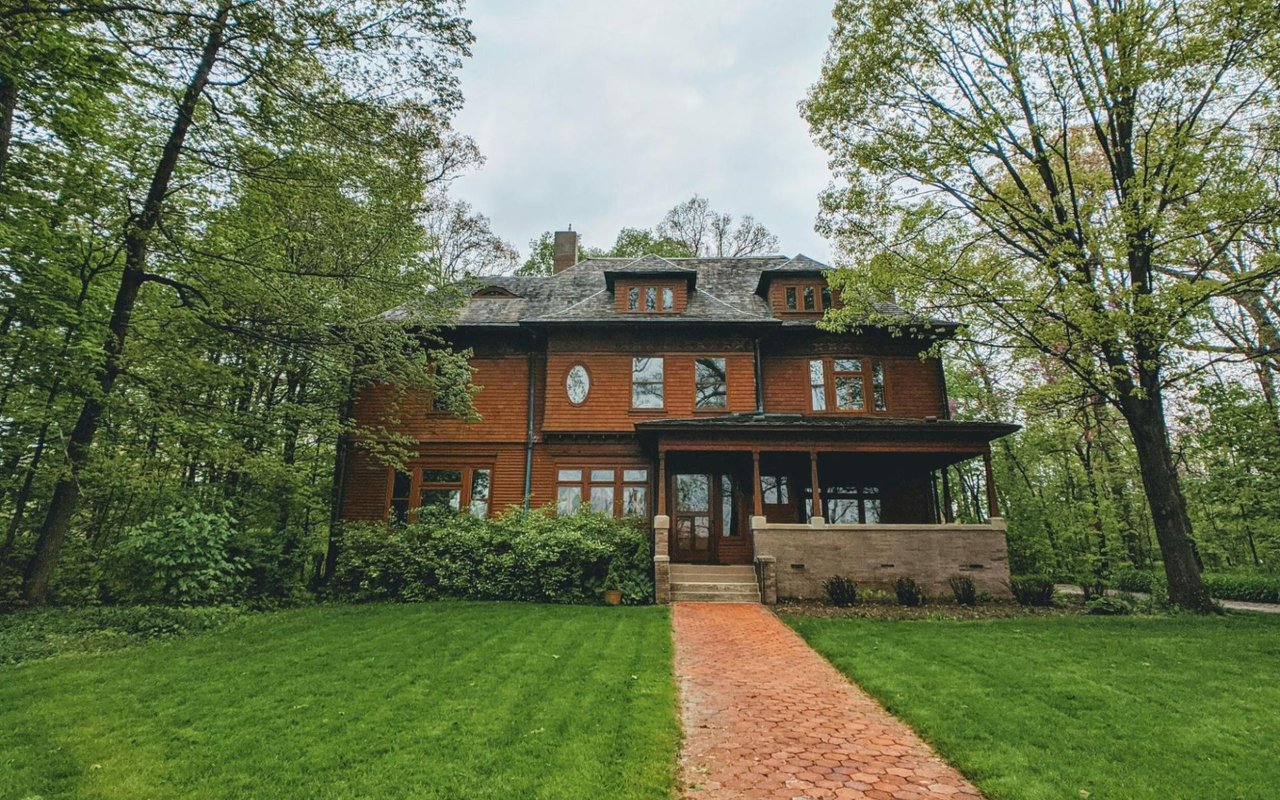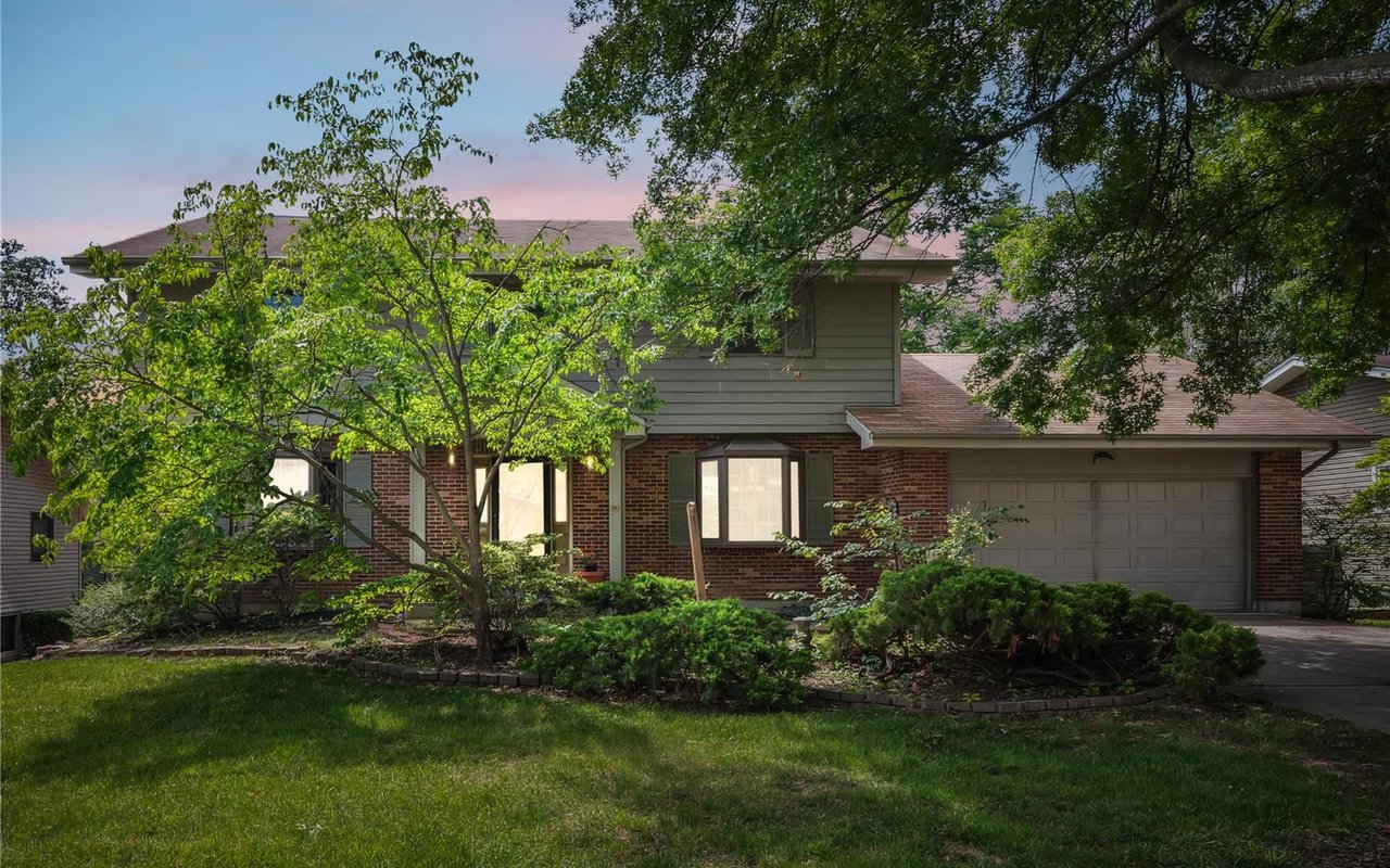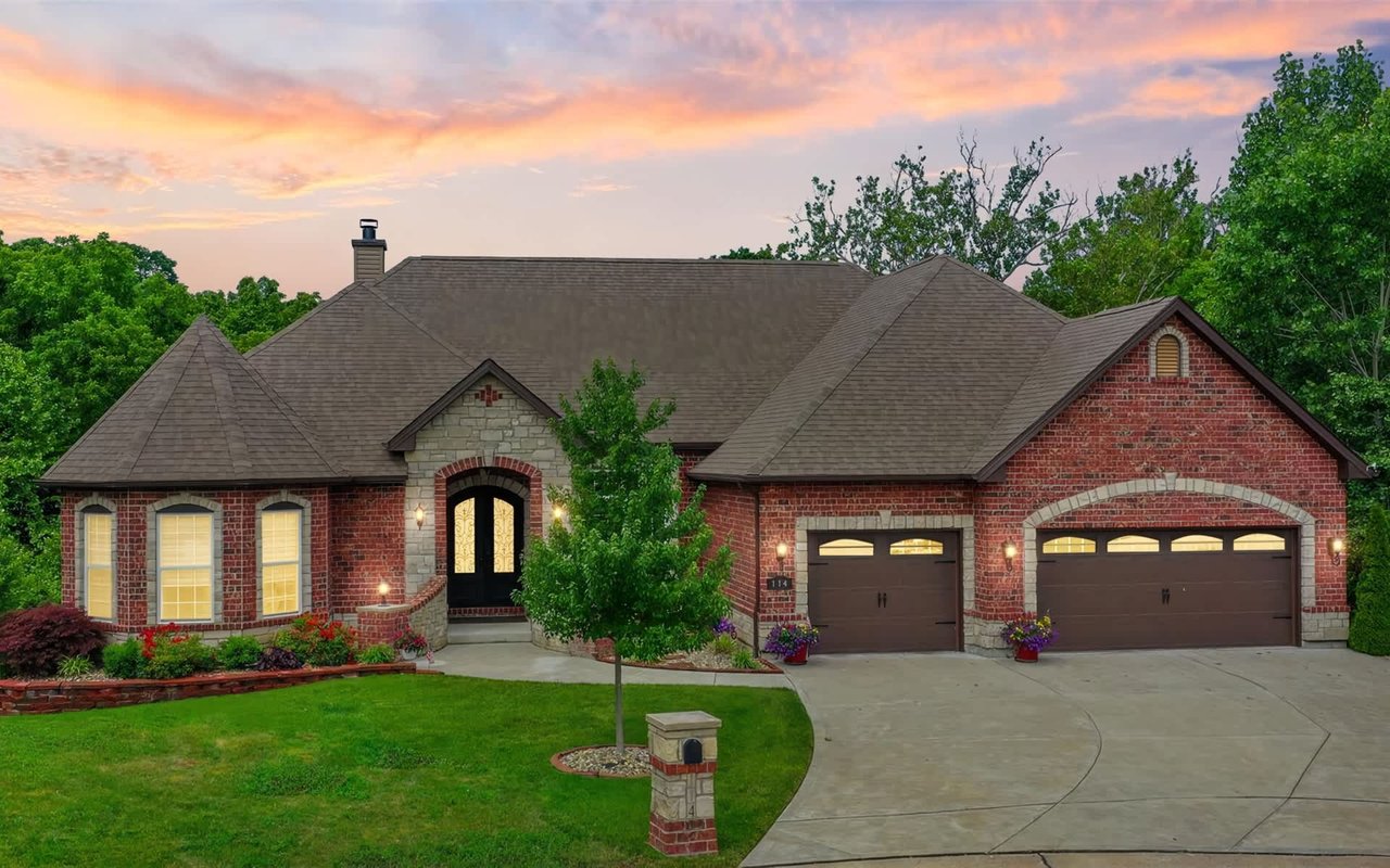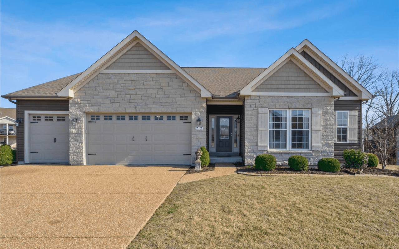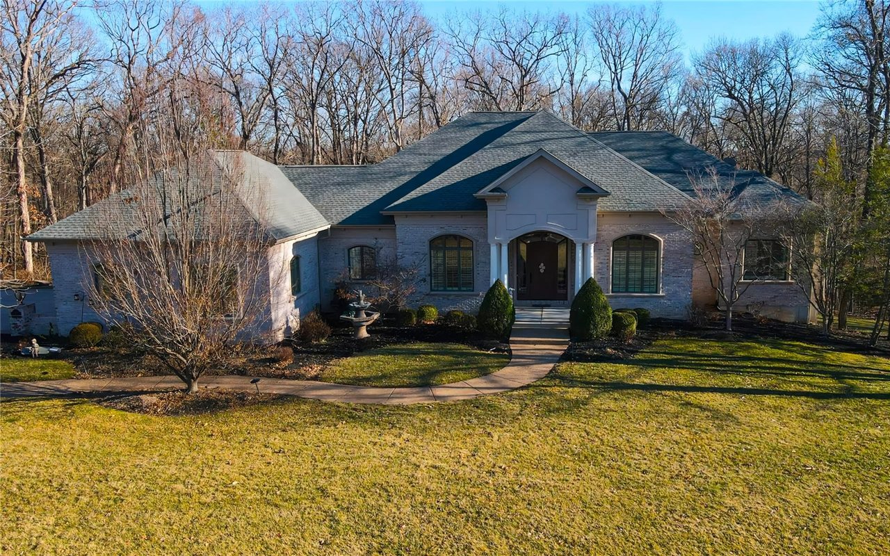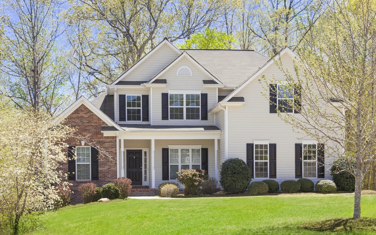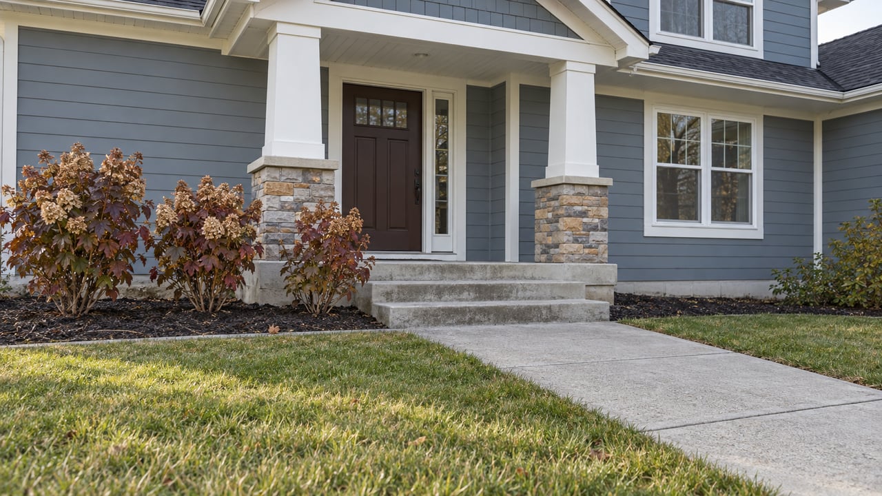
Which side of Highway 79 will the new transmission towers stand on? If you are comparing newer homes along the corridor in St. Paul this winter, that question matters more than most of what shows up on a listing sheet. Ameren's published schedule puts the answer on a regulator's desk well after this season's closings.
The project is Ameren Transmission's Eastern Missouri Grid Transformation Project, a 130-mile effort spanning six counties from Marion County to the city of St. Louis. About 35 miles of it run through northern St. Charles County, and up to 19 of those miles could be built on new routes. One piece is a line on the west side of Highway 79 running south from Lincoln County to the Belleau substation near Highway 79 and T.R. Hughes Boulevard. That puts it right through St. Paul's growing stretch of the highway.
The Houses Got There Before the Wider Easement
The route question in St. Paul starts with homes that are already built. As St. Charles County reported in July 2026, Ameren holds a 100-foot-wide path along the existing line and wants 150 feet so it can build and maintain new, taller towers. In open country, the county noted, an extra 50 feet is easy to get.
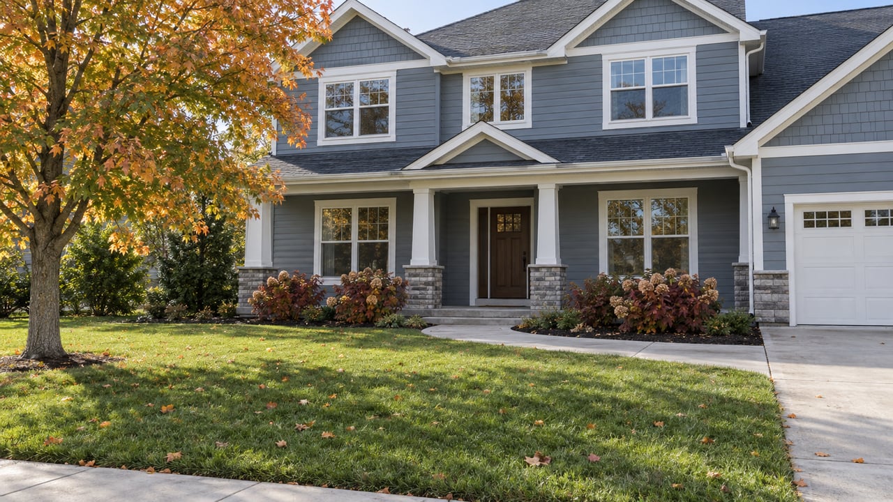
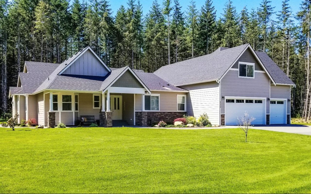
Along Highway 79 it isn't. The county's article said neighborhood builders have put houses directly next to Ameren's easement, and a few backyard fences nearly touch the poles. With so little room to widen, Ameren began looking at shifting the route in several places.
The same subdivisions that make the corridor appealing are what pushed the line toward a possible move. Every lot platted right up to the old easement narrowed Ameren's choices. According to the county, any shift would carry the new towers either across rows of backyards or out onto the Mississippi River floodplain east of Highway 79.
Two Directions, Two Groups Pulling Opposite Ways
Subdivision residents in the area want the lines moved east, through farmland where fewer people would be affected. That's the county's account. The county's article quoted one resident building in a new subdivision near Highway 79 and Highway Y, where the current route already passes through the unfinished neighborhood. He asked why the line should run through a populated area when farm fields along Highway 79 have far fewer property owners.
Conservationists want the opposite. The floodplain east of the highway is important habitat for migratory waterfowl, and Great Rivers Habitat Alliance has argued that power lines there would raise the risk of fatal bird collisions along the Mississippi Flyway. In an August 28, 2026 update, the alliance said Ameren had revised its initial plan. The update then stated its position:
"we cannot support any proposed new routes east of Highway 79."
Ameren's project manager told the county the company had already dropped route options that would have run much farther east toward the river. The options still on the map stay closer to Highway 79 but swing into the floodplain to get around several developed areas. The same GRHA update said Ameren was still gathering input and evaluating routes as of late August.
For a buyer, this shows which segments are still in play. The undecided stretches are the ones where the existing easement runs closest to new homes, since those are the places Ameren is weighing a detour.
The Filing Date Already Slipped Once
In July, Ameren planned to submit its selected route to the Missouri Public Service Commission in August 2026. That date has passed. Ameren's project page now says the filing schedule has been updated and the company expects to file its preferred route in late 2026 or early 2027. That filing will be part of an application for a Certificate of Convenience and Necessity.
Here is the remaining schedule as Ameren currently lists it:
| Phase on Ameren's schedule | What happens |
|---|---|
| Spring 2026 through Winter 2026/2027 | Select preferred route, file with the PSC, real estate work begins, environmental and land surveys |
| 2027/2028 | Receive the Certificate of Convenience and Necessity, permitting and agency coordination |
| 2028 to 2032 | Construction, with different start dates in each community |
| 2032 | Construction complete, project in service |
| 2033 | Land restoration complete |
Ameren notes that every item depends on regulatory approval and that the schedule can change.
Line the table up against a buying timeline. A family that goes under contract along Highway 79 this winter will likely close before the PSC has even opened a case. Regulators would approve a route in 2027 or 2028, and the towers could go up any time from 2028 to 2032.
Why the Corridor Fills In Slowly, and Why That Matters Here
The Highway 79 corridor near St. Paul isn't filling up quickly, and that's part of why the route question stays open.
After a planning and zoning hearing in February 2025, the St. Charles County Council voted 4–3 on June 30 against rezoning land for The Bluffs at Riverdale, a proposed 109-home subdivision on about 38 acres between Highway 79 and Dyer Road south of St. Paul. Mid Rivers Newsmagazine reported that the applicant was Charlestown Crossing LLC, identified as T.R. Hughes Homes, and that the plan called for 2.8 homes per gross acre. County planning records place the site across from The Grove at Riverdale.
Testimony recorded in the minutes of the county's February 19, 2025 planning and zoning hearing shows how slowly nearby neighborhoods have built out. A speaker said McMorland Acres had eight homes built in two years out of 68 one-acre lots. Testimony at the same hearing put The Grove at Riverdale at eight houses built on its 102 lots.
Slow buildout cuts both ways for a buyer. Many lots near the line are still empty, so the number of homes next to the easement could grow while Ameren and regulators work through the route. Each house that goes up along the old corridor adds to the case for moving the line away from homes, and that pushes the line toward the floodplain the conservation groups want protected.
Local zoning doesn't settle the question for you either. St. Charles County's Unified Development Ordinance says it does not cancel existing easements and other agreements. St. Paul's 2008 zoning ordinance says the same about easements and private agreements.
Where to Follow the Decision Before and After You Buy
The route is still open to comment, and there are several places to keep track of it:
- Ameren's comment webmap. Ameren's Eastern Missouri Grid Transformation Project webmap shows the route segments under review and takes comments. Great Rivers Habitat Alliance pointed its supporters there in August.
- Ameren's project page. The project page carries the current schedule and county maps. Ameren invites landowners to contact the project team about features on their property.
- The Missouri Public Service Commission, once Ameren files. The county reported that the PSC gets involved only after Ameren submits its application. Once a case opens, the public can comment by phone or in writing, and local public hearings may be held.
- The right case number. The PSC's list of upcoming local public hearings includes an Ameren case, EA-2026-0226. That case is for a gas-fired generating facility at the Sioux Energy Center. It is not the Highway 79 transmission line.
A Few Questions We Hear
Will the new line look like the current one? On a different stretch, between the Belleau substation and a proposed substation near Graus Lake, the county reported that the old steel H-frame structures and lattice towers would be replaced with single steel poles with longer spans between them. Along Highway 79, the county described the plan as taller towers on a wider easement.
Does the project reach beyond St. Paul? Yes. From the Graus substation, the route forks north to the Sioux substation and east across the Missouri River into St. Louis County.
What about questions on electric and magnetic fields? Ameren told the county that its lines are designed to rigorous standards. It said residents with EMF questions should contact the project team and noted that a third-party EMF expert attended its June open houses.
This post is general information about a public utility process, not legal, financial or valuation advice. If an easement or proposed route touches a home you are considering, talk with a real estate attorney or title professional about your situation.
When we tour homes along Highway 79 with a client, the easement line and Ameren's current route map come with us. If you're weighing a home on this stretch, or you own one near the corridor and want to know how a buyer would see it, The Cheri Norton Team can walk you through the route options next to the property and keep you posted when Ameren files. Get your free home valuation.